The Cosău Trail
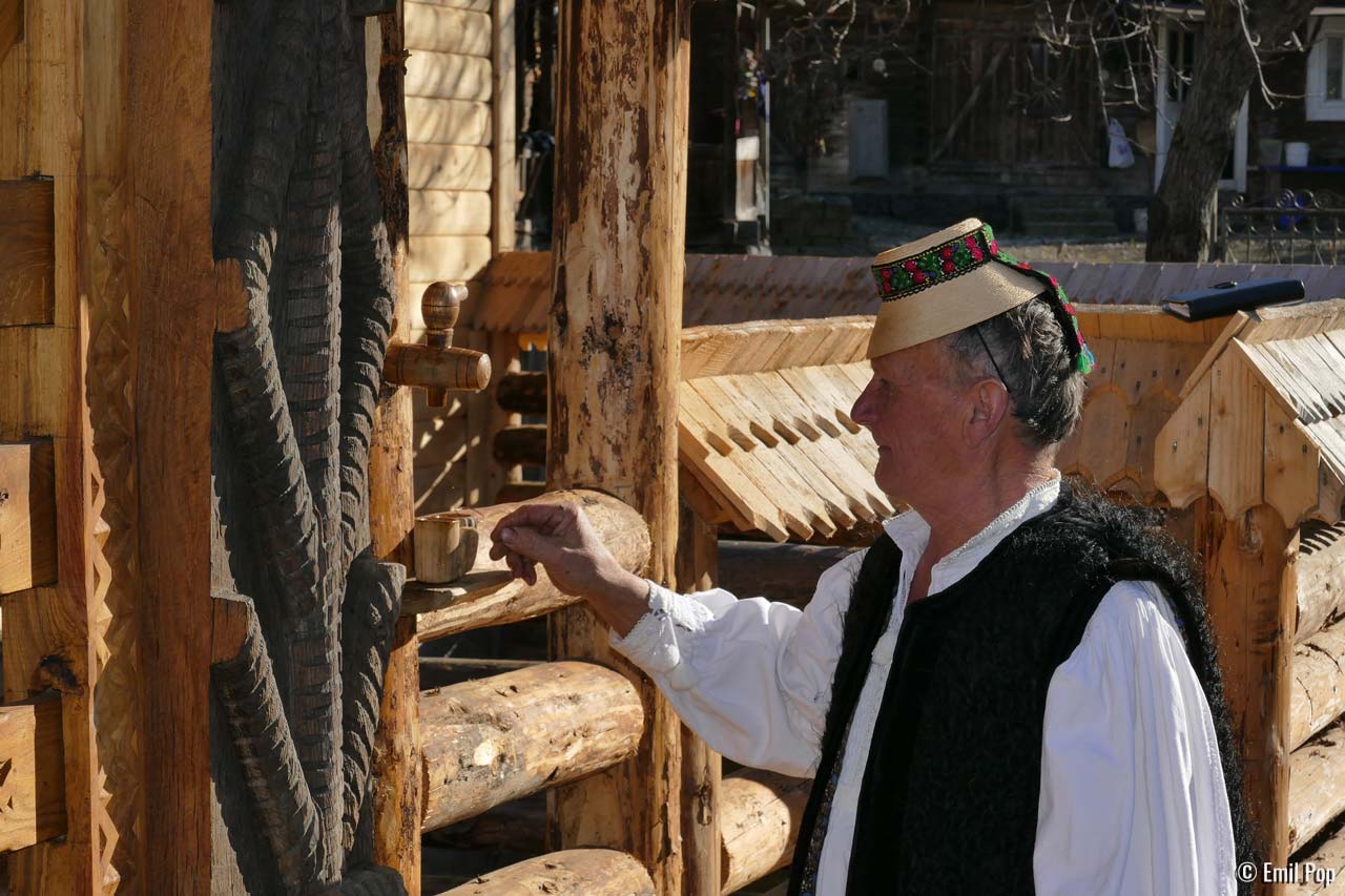
Although it largely stretches on the main road, which is the most exposed to modernity, this trail keeps us close to the authentic and archaic Maramureș. If you want to get into all the workshops of skilful craftspeople and you are interested to admire closely the motifs carved on the wooden gates, you will need to grip the bicycle brake levers often. For both craftspeople and wooden gates are found in abundance on the Cosău Trail.
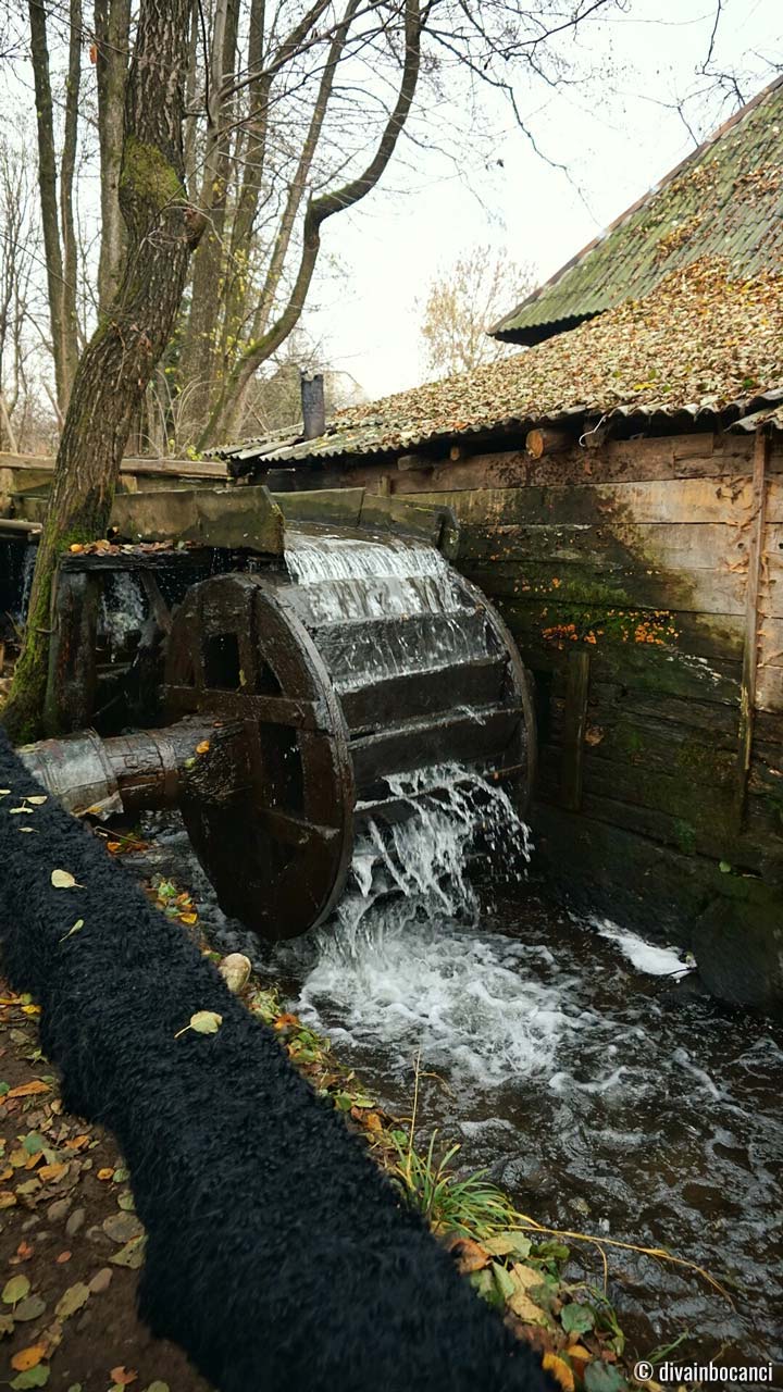
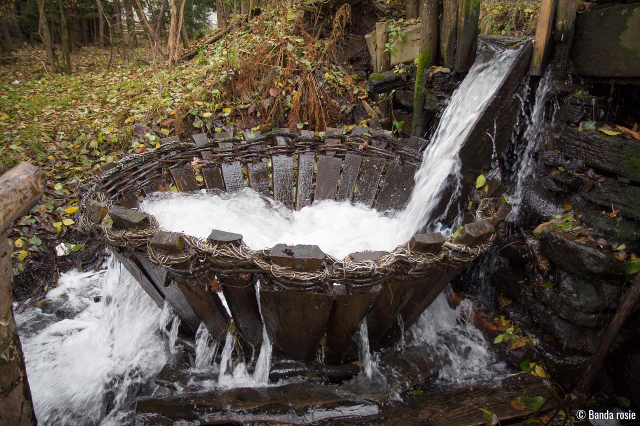
From the church in Budești Josani to Sârbi, our road follows the river Cosău closely, thus managing to bring us into the realm of the ingenious technical installations driven by water: whirlpools, fulling mills, flour-mills, a thresher. In Călinești, we are surprised by a maze of village streets and cart roads. The last part of the trail takes us to Ocna Șugatag.
Highlights
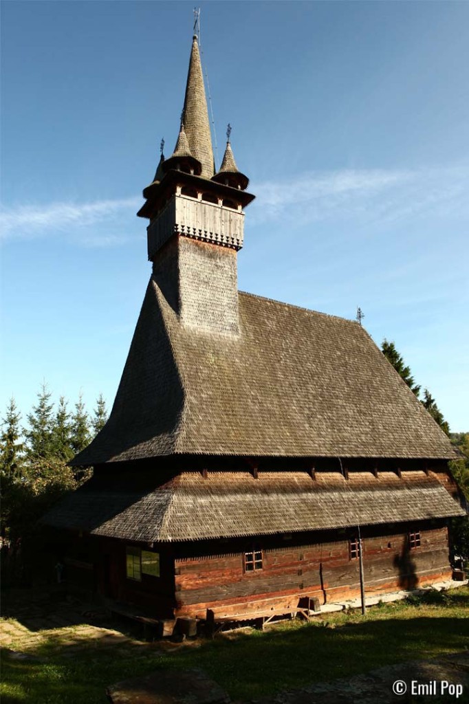
- The UNESCO monument wooden church in Budești Josani (1643)
- Craftspeople's workshops and traditional installations
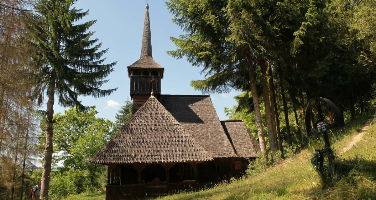
- The Sârbi Susani wooden church (1638)
- The Călinești Căeni wooden church (1629)
- The rural landscape of Călinești
- The Ocna Șugatag Weekly Fair
- The Gavrilă Lake – the largest salt mining lake in Romania
When, and on what terrain
The good season runs from April to October. In early spring the forest sections stay wet and muddy long after the village has dried out; in autumn, wet leaves cover the stones and make the descents slippery. In summer, start in the morning — afternoon showers are common on the slopes of Gutâi.
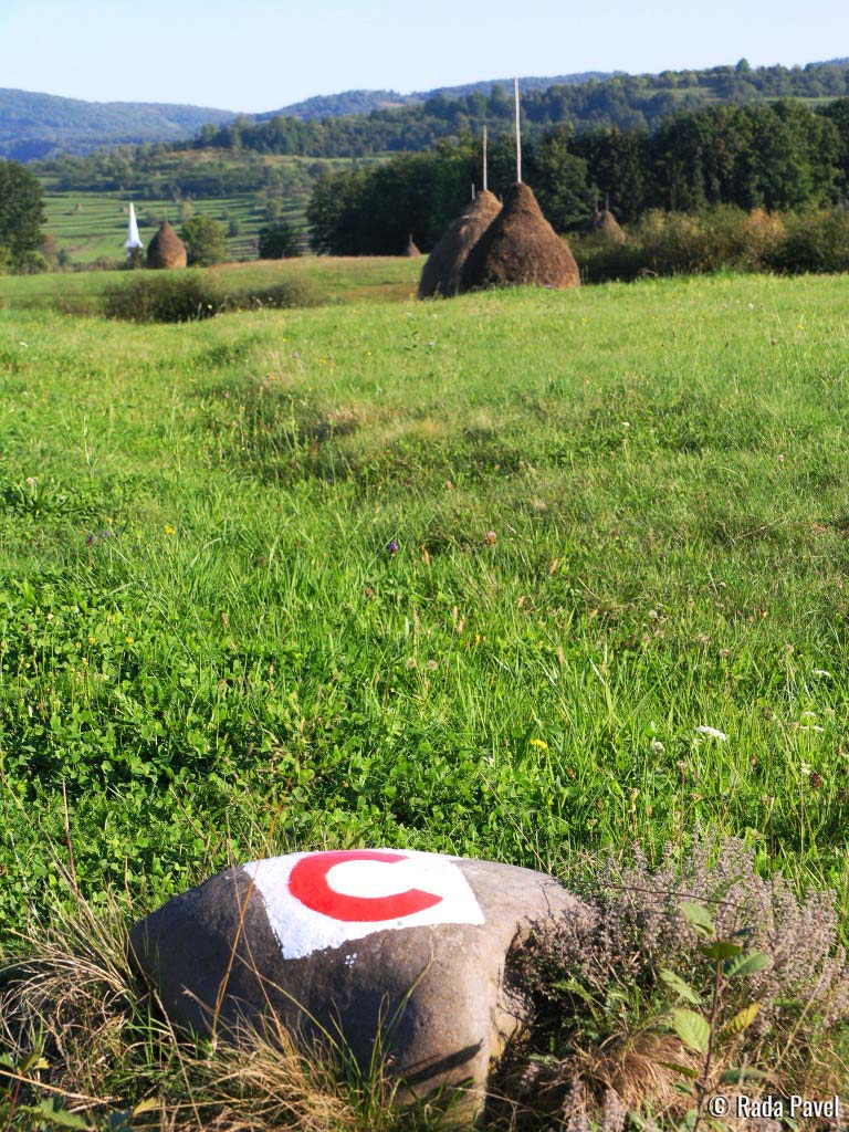
The trails were not built for bikes: they are forest and cart tracks, shepherds' paths, village lanes and short stretches of county road, now also used by cyclists. The surface ranges from asphalt to crushed stone and packed earth, so a mountain or gravel bike is the right choice. The waymark used in the destination is a red letter "C".
What to take
Water for the whole ride — there are no shops along the way — a spare inner tube and a pump, a basic tool kit, some food and layered clothing: the temperature drops noticeably with altitude, and the wind on the ridge feels very different from the village. A charged phone and the GPX file downloaded before you leave solve most navigation problems, as there is no signal everywhere.
Safety
Along the trail you will come across sheepfolds and shepherd dogs. If you are surrounded, stop, get off your bike and keep it between you and the dogs, speak calmly and back away slowly — don't speed up and don't shout. Tell someone where you are going and when you expect to be back.
In an emergency: 112 · Salvamont Maramureș: +40 725 826 668.
Photo gallery