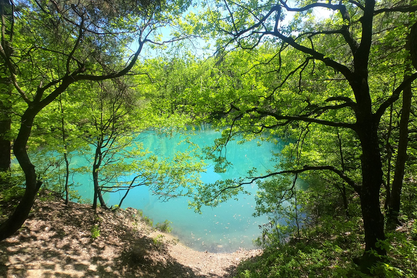
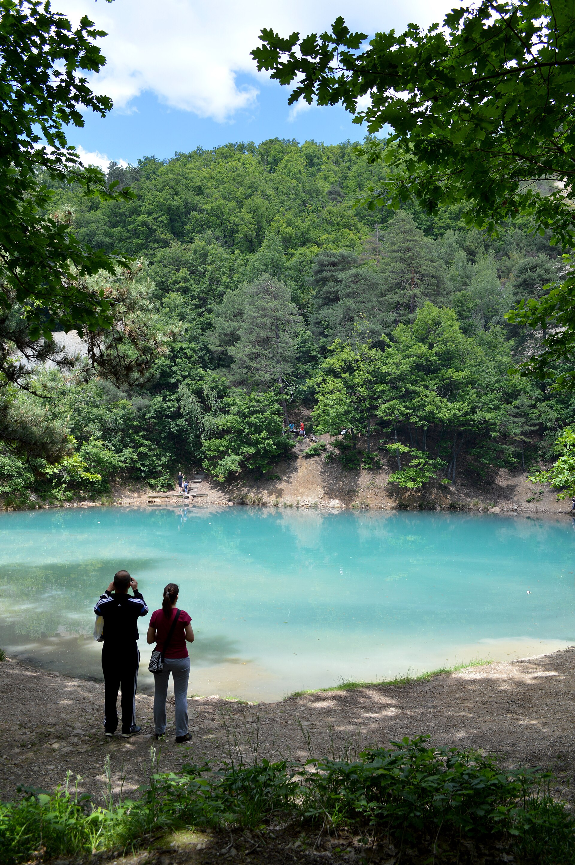
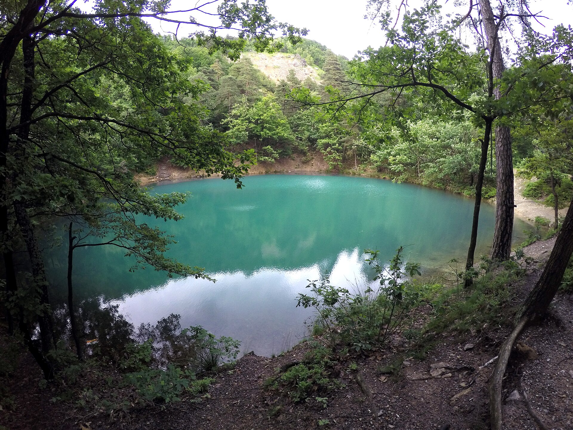
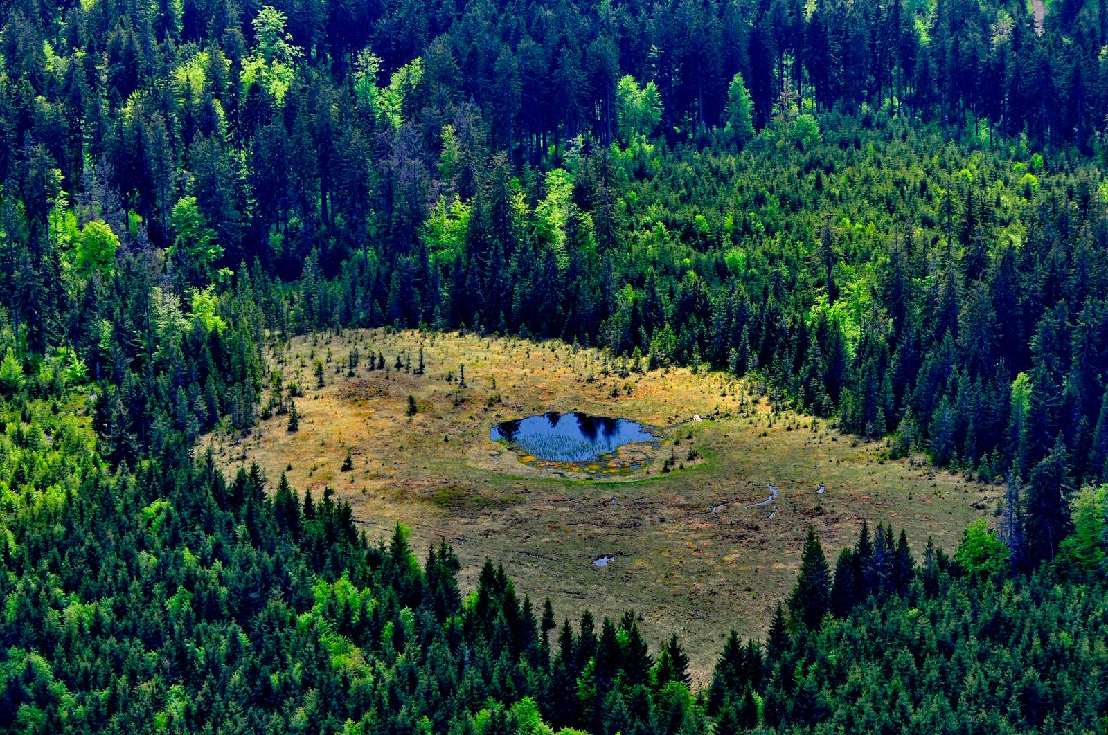
The Blue Lake is a protected area of national interest, on the administrative territory of Baia Sprie, on the southern slope of Dealul Minei, at an altitude of 530 m. It covers 0.5 hectares, is 4 metres deep and almost circular in shape.
The lake is unique because of its origin, as well as its water chemistry and remarkable colour. It formed between 1919 and 1920, as water accumulated following the collapse of a mine gallery or of surface workings.
What you'll see
The colour that gave the lake its name does not come from its depth but from the chemistry of the water: minerals dissolved from the old mine workings, and the lack of any stream to refresh the lake, make the light reflect in shades ranging from blue-green to almost turquoise, changing with the season and the angle of the sun. It looks best in good light, around midday.
The lake is one of the few in the country born of a mining accident: the collapse of a gallery left a funnel in which water collected. At 0.5 hectares and 4 metres deep, you can walk around it in a few minutes.
Getting there
The Blue Lake lies on the southern slope of Dealul Minei and is one of the sights linked by the marked trails of the Mines Park (Parcul Minelor) in Baia Sprie. The starting point is the car park at the end of Crișan Street, where there is an information point and a map of the park. Details at parculminelor.ro.
As a protected area of national interest, it may only be visited along the designated paths. Swimming is not allowed.
Source
Photos: turismbaiasprie.ro; DimiTalen (CC0) and Emilburzo (CC BY-SA 4.0), via Wikimedia Commons
← Back to natural heritagePhoto gallery